See the Land before you visit
Steepness, drainage and usable space are often misjudged from photos alone.
This analysis reveals how the land actually behaves-helping you avoid costly surprises and to make better decisions from the outset.
No site visit required
Professional terrain analysis delivered remotely
How it Works
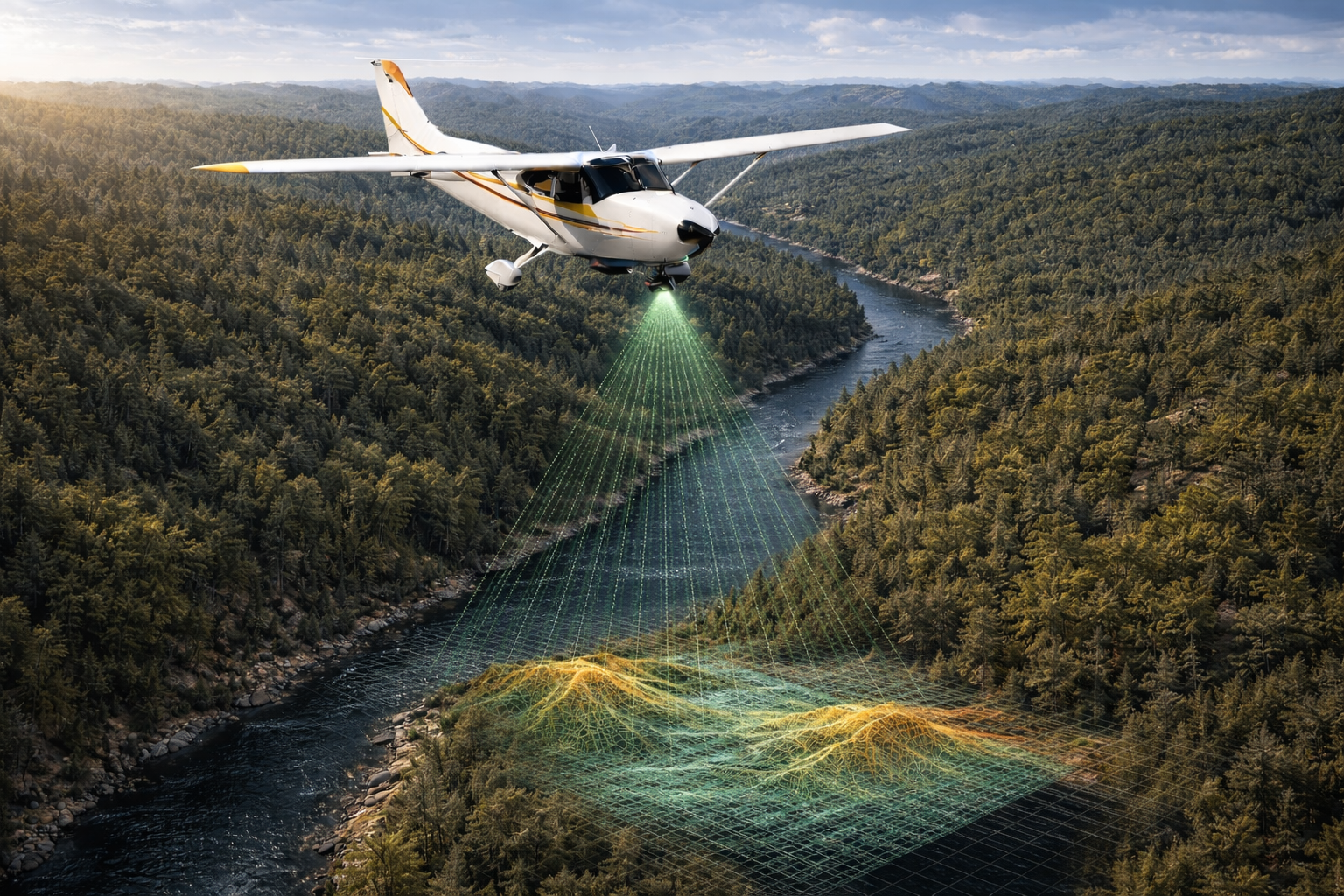
High-Resolution LiDAR data is already available for most of Northern Europe, including all of Portugal.
No survey, no site visit-just fast, remote analysis.
Aquila Maps That Reveal the Land
Every decision starts with terrain, contours and slope
These maps reveal how the land actually works — not just how it looks.
They show where the ground rises and falls, how steep different areas are, and how usable each part of the property really is.
This affects everything from access and building potential to drainage, planting, and long-term management.
Without this, you’re relying on guesswork. With it, you can quickly understand what’s practical, what’s challenging, and where the best opportunities lie.
For buyers, it removes uncertainty before you commit.
For owners, it provides a clear foundation for planning and managing the land with confidence.
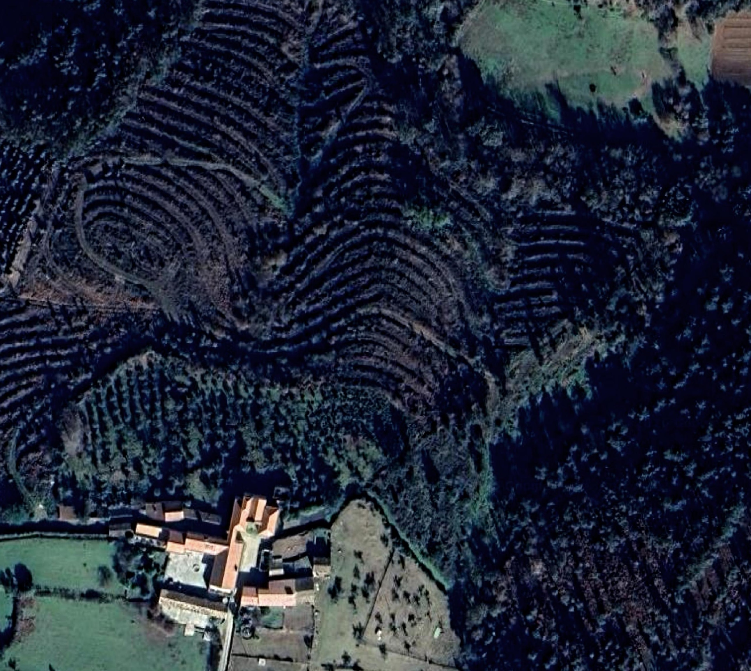
Satellite
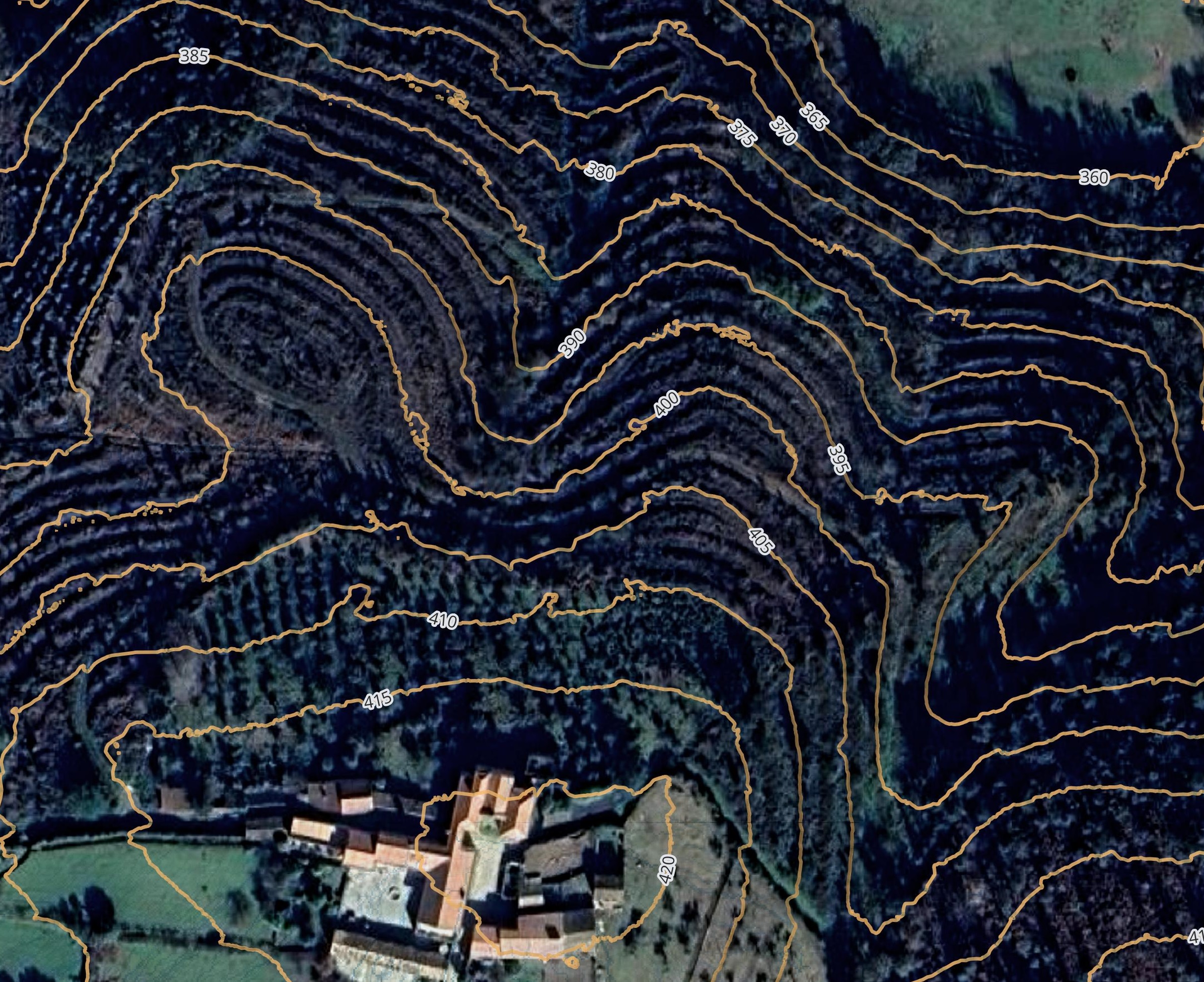
Satellite and Contours
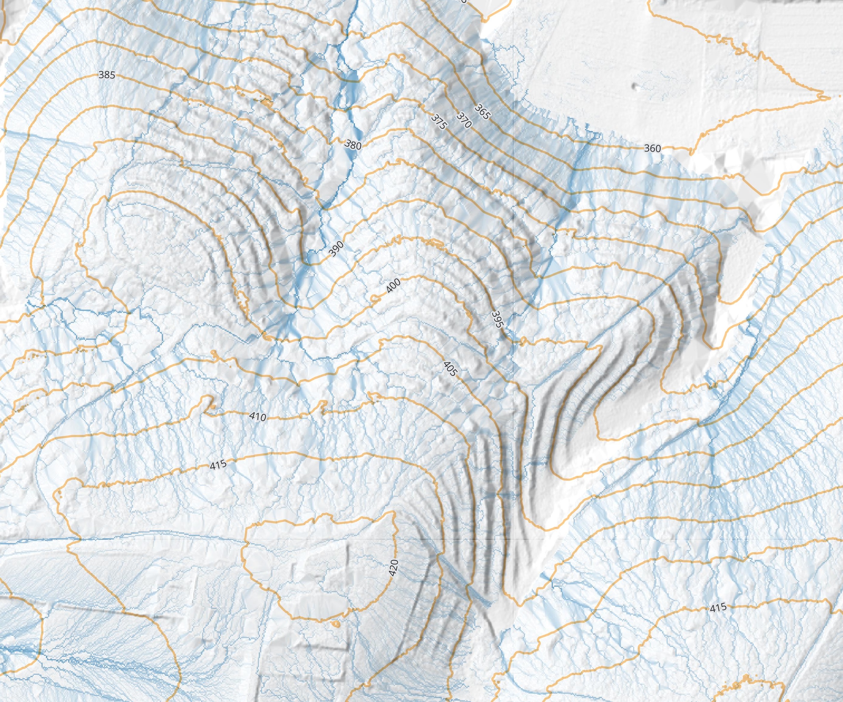
Contours and Flow
