Land Intelligence
Solar Exposure
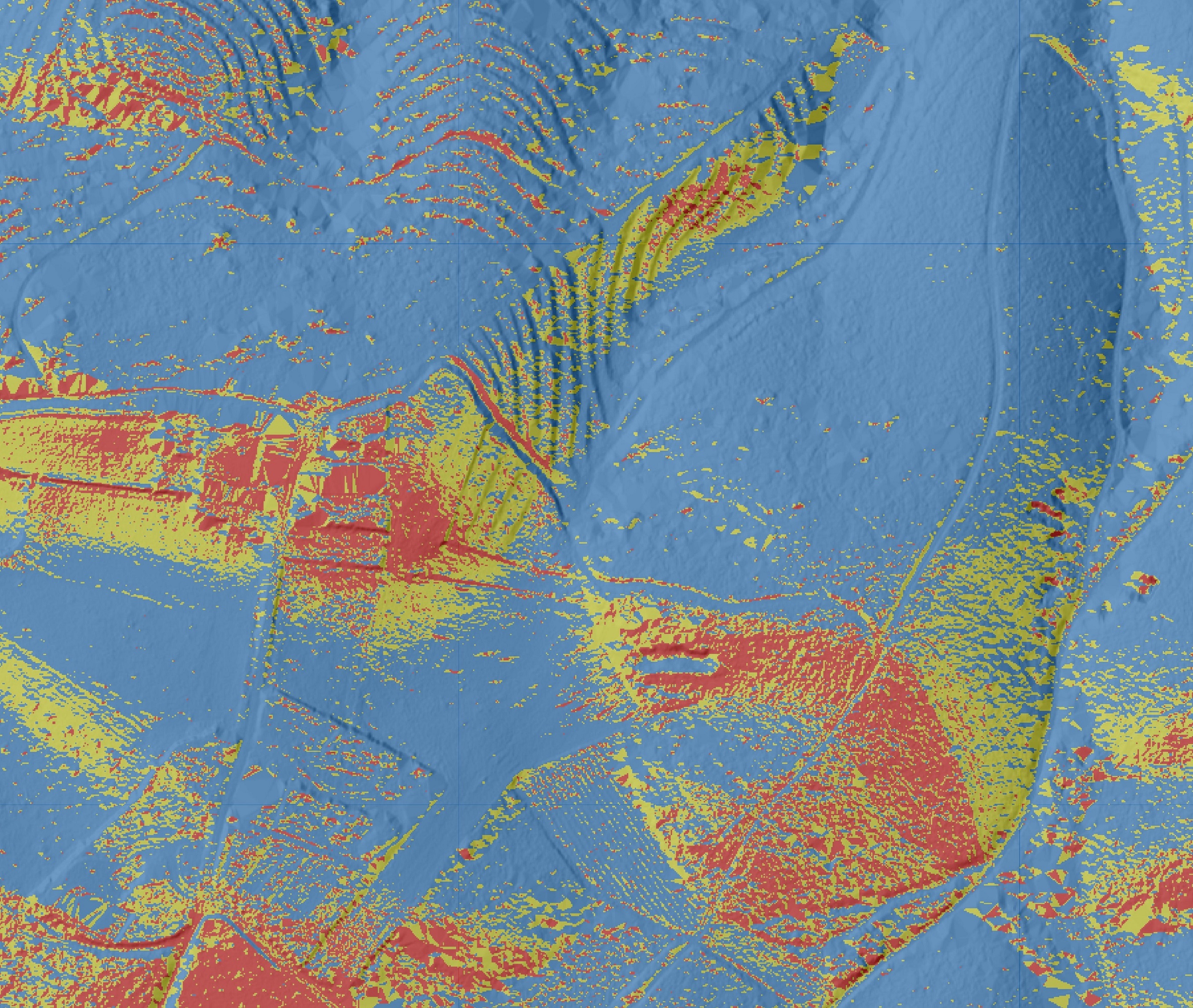
Solar exposure mapping shows how sunlight interacts with the land, highlighting how slope and terrain influence light distribution across a property.
This reveals patterns that are often missed when viewing land from above, particularly where subtle changes in terrain affect how light is received across the site.
It supports practical decisions around planting, building placement and energy use. It can also highlight suitable locations for solar panels that may not be obvious. Where solar exposure aligns with water sources it can create opportunities for simple, low-energy water movement across the property.